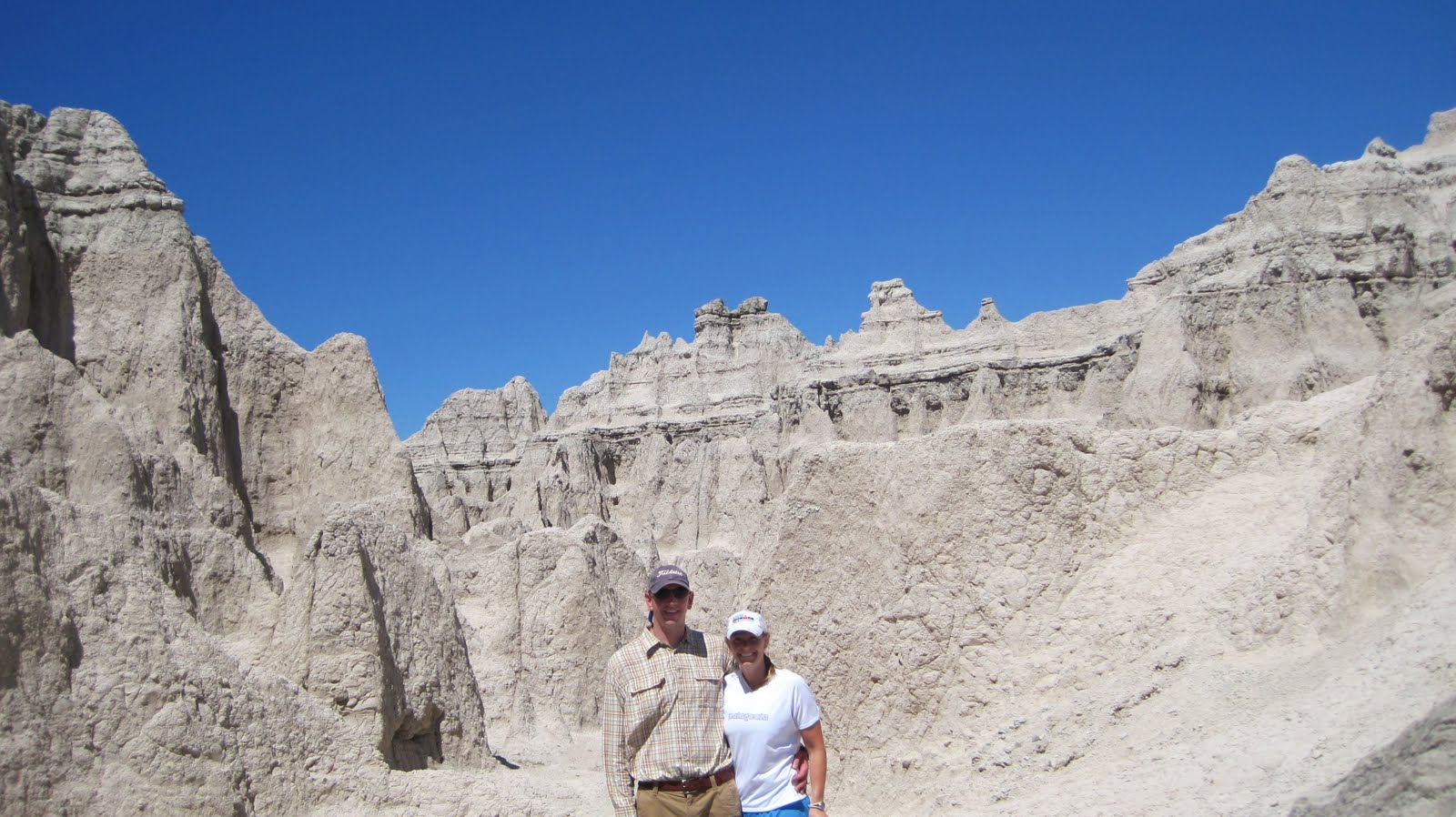
Day 4: After packing up our campsite at Badlands, we drove to see Mt Rushmore. We made a quick pit stop to see the monument since it was very touristy. We also found ourselves surrounded by multiple convoys of Corvettes ever since we left Sioux Falls and we weren't quite sure what to think of it.

We then made our way to Custer State Park. We had a long, but beautiful drive to our campsite once we entered the park. We drove on Needles Highway which has really spectacular scenery. You can see from my pictures below why it is called Needles Highway. We found our campsite and I was not too thrilled with the fly situation. There was a swarm big enough that you could hear the buzzing, and those buggers were ruthless! It was a hot day and we wanted to escape the flies, so we decided to check out the lake, go for a swim, have lunch, and then decide on a hike. The lake was very refreshing, but was extremely crowded around the lake shore. We hoped that we wouldn't run into crowds on the trail. We decided on Little Devils Tower hike and while the view from the top was amazing, the trail was extremely hot and not shaded. Unfortunately, the pine trees in the area were exposed to pine beetles and a huge section of the forest was affected. In order to combat the disease, Custer State Park is trying to chop down the affected trees and use them for lumber so that the beetle larvae cannot survive and affect even more trees. For dinner, we had bought really great steaks to grill while we were in Sioux Falls, but the flies were so horrible we had to gobble them down before we were eaten alive. Custer is a beautiful park, but we wanted to get away from the flies as soon as possible.
 |
| The "needles." |
 |
| A view from our hike. |
 |
| The two intrepid hikers. |
Day 5: We packed up our campsite at Custer and made our way to Devil's Tower, WY. We were surrounded by Corvettes, yet again. Devil's Tower is really a sight to see. It was a beautiful bluebird day and I loved the contrast of the blue sky with the incredible tower. Brad and I took the trail that circles the base of the tower and it was really cool to walk around it. There were a number of climbers half way through their ascent. It was fascinating to see. We passed Prairie Dog Town on our way out and I couldn't get over how cute and playful the prairie dogs were.
 |
| A view of Devil's Tower from the park entrance. |
 |
| If you look closely you can see a climber on the Tower. |
 |
| The columns on the Tower are actually hexagons formed by cooled lava. |
 |
| Prairie Dogs are so cute! |
As we were leaving Devils Tower we encountered a woman wearing a T-shirt that described the 40th annual Sioux Falls Corvette classic. On our way to Bozeman, MT, we looked up the event and it looks like it is a several day Corvette event that tours South Dakota. We were just lucky enough to spend most of our time in South Dakota surrounded by Corvettes. The Jeep held its own though. Bozeman was such a treat! After showering in our nice hotel room we found on Priceline, we went out to eat at Montana Ale Works as recommended by Yelp. Brad had a bison burger and I had an elk burger. Our meals were delicious and we each tried a Montana brew - overall we loved our meal. We also loved downtown Bozeman. We definitely want to go back to fish while we're in SLC.
Day 6: We got up early and did a load of laundry and then went food shopping for our trip to Glacier. Once we finished up our errands, we made our way to Glacier National Park. We arrived around 3:00 and checked into our campsite at Fish Creek. Glacier is known for its bears and the rangers and camp host made sure we were aware of how important it is to keep all food and scented items in the car. We needed to change out of our cooking clothes before retiring for the night and we had to be really careful not to leave any food scraps around the picnic table. After the recent bear attack in Yellowstone, we were more than careful. After our campsite was set up, we hopped back in the car (again) and drove the Going to the Sun Road.
Going to the Sun Road is the main road that connects the west side of the park with the east side. It actually only opened a week before we arrived because of the tremendous amount of snow they received this past winter. Brad and I heard a ranger say this year was the latest date they ever opened the road, The road is about 50 miles long and it's an awesome engineering feat since a lot of the road cuts right through the mountain side. It took us over 90 minutes to drive to the east side of the park and about 3 hours roundtrip. The park is just gorgeous and it was really cool to see how much snow was still on top of the mountains in mid-July. Unfortunately, we underestimated the time it would take us to drive the Going to the Sun Highway which made for a late dinner that night. Below is a sampling of some of the pictures we took during our round trip on the Going to the Sun Highway.
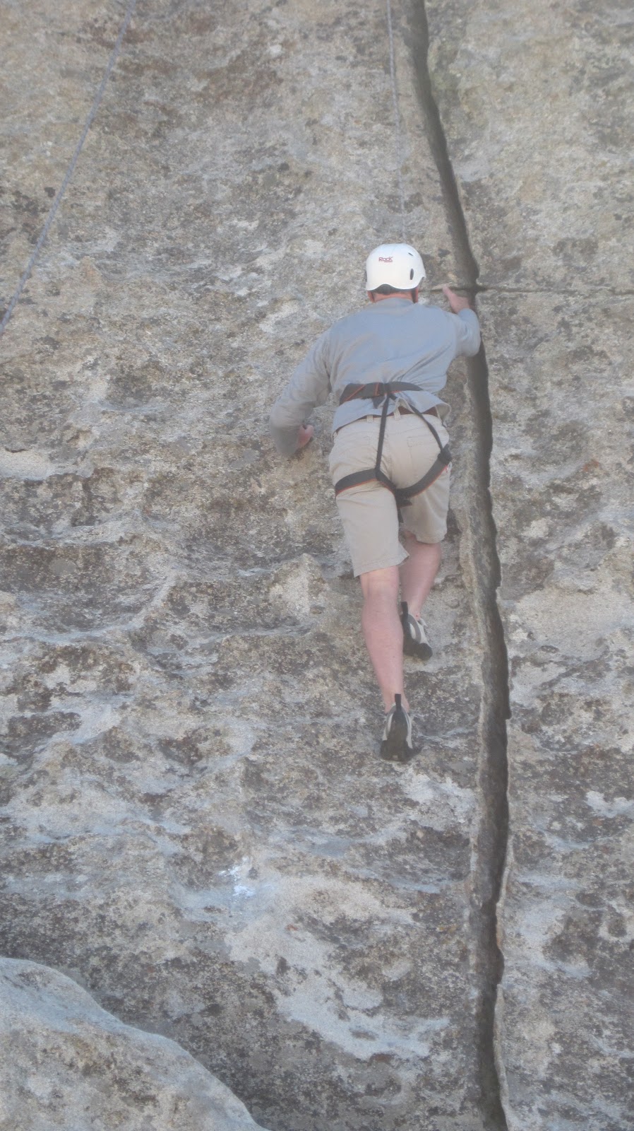
On a current note, Brad and I are slowly getting acclimatized to the altitude. I started running again after taking 3 weeks off and it's been tough. It feels like I'm either running uphill or downhill - very different from the flatness of Rhode Island. We took out our bikes this morning for the first time since we arrived in SLC and Brad took me straight up a canyon road...not what I would have planned for our first ride, but I guess it's better to just jump right in. Our lungs were burning on the hills, but I'm hoping in two weeks we'll feel a lot better. Stay tuned for more tales of our hikes in Glacier and our rock climbing experience at City of Rocks.